Out Of Stock
N.B. Image may differ with actual product's layout, color, size & dimension. No claim will be accepted for image mismatch.
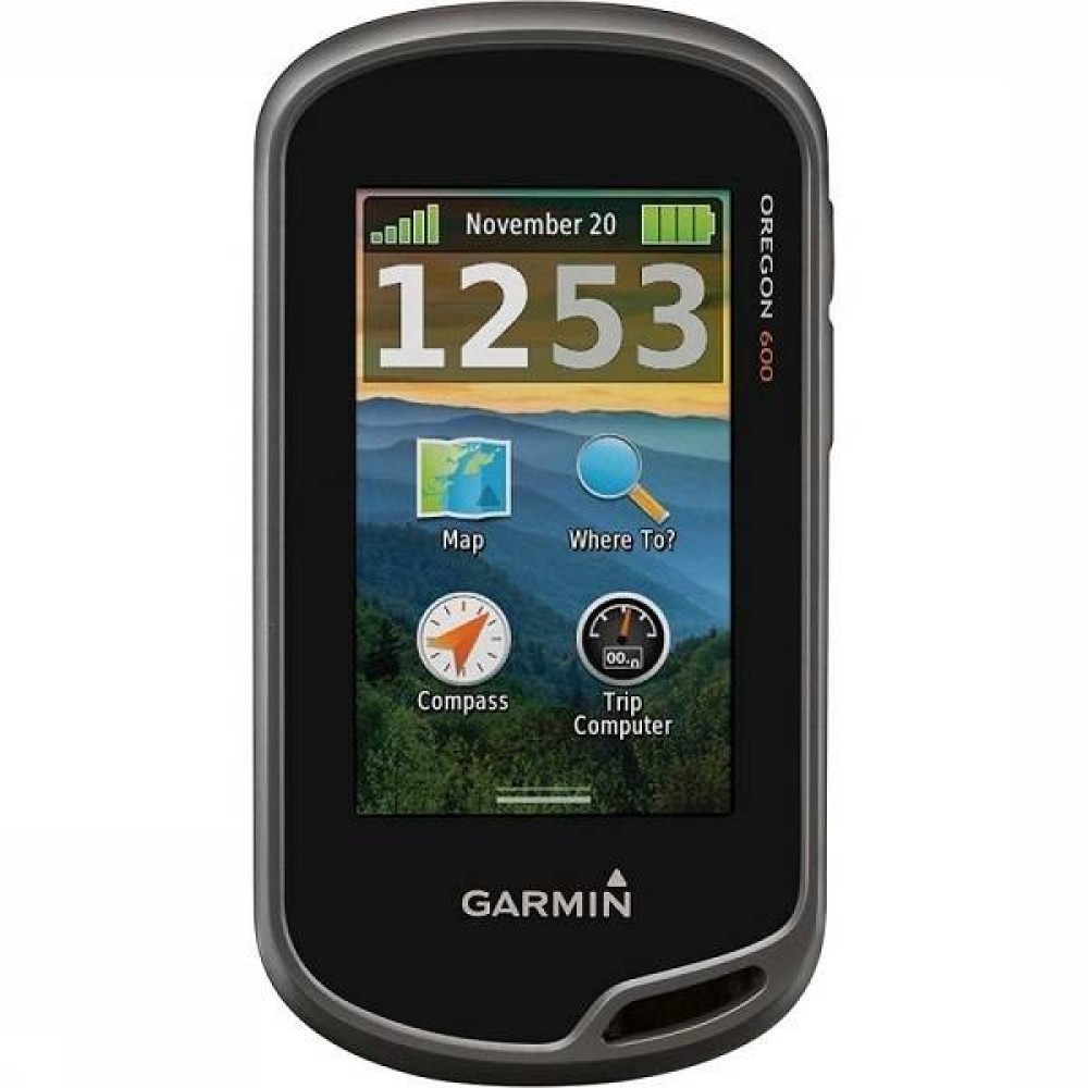
Garmin Oregon 600 GPS
- Brand: Garmin
- Model : Garmin Oregon 600 GPS
- PID : 28276
0 ৳
Ex Tax: 0 ৳
i
Out Of Stock
Features
- Please confirm availability before completing your purchase by calling us.
- The actual product may vary in size, color, and layout compared to the website display images. Claims will not be accepted for image discrepancies.
- We reserve the right to change the price of any product at any time due to the volatile nature of technology prices.
- We cannot guarantee that the information on this page is 100% accurate. Multimedia Kingdom is not responsible for any results obtained from using this information.
Garmin Oregon 600 GPS
Garmin Oregon 600 GPS is available in Bangladesh at Multimedia Kingdom.Specification
| Physical dimensions | 2.4" x 4.5" x 1.3" (6.1 x 11.4 x 3.3 cm) |
| Touch Screen | Yes |
| Display size | 1.5"W x 2.5"H (3.8 x 6.3 cm); 3" diag (7.6 cm) |
| Display resolution | 240 x 400 pixels |
| Display type | transflective color TFT touchscreen |
| Weight | 7.4 oz (209.8 g) with batteries |
| Battery | 2 AA batteries (not included); NiMH or Lithium recommended, rechargeable NiMH pack (optional) |
| Battery life | 16 hours |
| Water rating | IPX7 |
| Memory | 1.7 GB |
| High-sensitivity receiver | Yes |
| Interface | high-speed USB and NMEA 0183 compatible |
| Base map | Yes |
| Way points/locations/favorites | 4000 |
| Track log | 10,000 points, 200 saved tracks |
| Routes | 200 |
| Sun and moon information | Yes |
| Area Calculation | Yes |
| Biometric Altimeter | Yes |

