Upcoming
N.B. Image may differ with actual product's layout, color, size & dimension. No claim will be accepted for image mismatch.
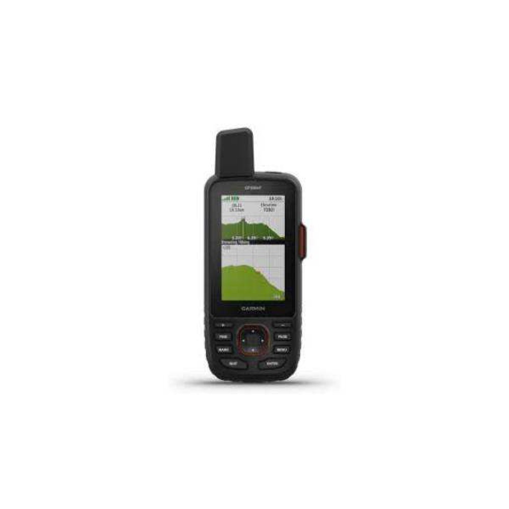
Garmin GPSMAP 67i GPS Satellite Technology
- Brand: Garmin
- Model : GPSMAP 67i GPS Satellite
- PID : 31608
i
Call For price
Features
- Battery life:Up to 165 hours
- Display:Transflective color TFT
- Preloaded Map:yes(TopoActive,routable)
- Memory :16GB
- Please confirm availability before completing your purchase by calling us.
- The actual product may vary in size, color, and layout compared to the website display images. Claims will not be accepted for image discrepancies.
- We reserve the right to change the price of any product at any time due to the volatile nature of technology prices.
- We cannot guarantee that the information on this page is 100% accurate. Multimedia Kingdom is not responsible for any results obtained from using this information.
| Battery | |
| Battery Life | Up to 165 hours |
| General | |
| Battery Type | rechargeable, internal lithium-ion |
| Display Resolution | 240 x 400 pixels |
| Interface | USB-C |
| Memory / History | 16 GB |
| Waterproof | IPX7 |
| Maps & Memory | |
| Basemap | Yes |
| Navigation Routes | 250, 250 points per route; 50 points auto routing |
| Navigation Track Log | 20,000 points, 250 saved gpx tracks, 300 saved fit activities |
| Tracks | 250 |
| Outdoor Recreation | |
| Area Calculation | Yes |
| Geocaching-Friendly | Yes (Paperless) |
| Hunt/Fish Calendar | Yes |
| Point-TO-Point Navigation | Yes |
| Sun and Moon Information | Yes |
| Waypoints/Favorities/Locations | 1000 |
| Sensors | |
| Glonass | Yes |
| GPS | Yes |
| GPS Compass (While Moving) | Yes |
| High-Sensitivity Receiver | Yes |
| Appearance | |
| Dimension | 2.5” x 6.4” x 1.4” (6.2 x 16.3 x 3.5 cm) |
| Display Type | Transflective color TFT |
| Weight | 5 oz (141.7 g) with batteries |
| Warranty | |
| Warranty | No Warranty |
Garmin GPSMAP 67 Handheld GPS:
Rugged handheld GPS + satellite communicator — built to handle tough outdoor/remote conditions (water-resistant, shock- and temperature-resistant).
Supports multi-band GNSS: works with multiple global satellite systems (GPS, Galileo, QZSS) across multiple frequency bands — for improved location accuracy, faster fix times, and better performance even in dense forest, canyons or rugged terrain.
Built-in support for satellite communication via Iridium network — enables two-way messaging, location sharing, and emergency SOS alerts, so you stay connected even where there’s no cellular coverage.
Iridium Satellite Communications
Full navigation & mapping suite — preloaded topographic maps, ability to load more maps or high-resolution satellite imagery via Wi-Fi, plus sensors like a 3-axis compass, barometric altimeter and weather-/elevation tools (ABC sensors).
Long battery life suited for extended expeditions — up to 165 hours with inReach™ satellite tracking, longer in GPS-only or expedition modes.
.jpg)
.jpg)
Tags:
Garmin GPSMAP 67i GPS Satellite Technology
, Garmin GPSMAP 67i GPS Satellite Technology price
, Garmin GPSMAP 67i GPS Satellite Technology Price
, Garmin GPSMAP 67i GPS Satellite Technology spec
, Garmin GPSMAP 67i GPS Satellite Technology price
, Garmin GPSMAP 67i GPS Satellite Technology
, Garmin GPSMAP 67i GPS Satellite Technology Price in BD
, Garmin GPSMAP 67i GPS Satellite Technology bd price
, Garmin GPSMAP 67i GPS Satellite Technology price in bd
, Garmin GPSMAP 67i GPS Satellite Technology price in bangladesh
, Garmin GPSMAP 67i GPS Satellite Technology
, Garmin GPSMAP 67i GPS Satellite Technology lower price
, Garmin GPSMAP 67i GPS Satellite Technology Review
, Garmin GPSMAP 67i GPS Satellite Technology
, GPS price
