
Upcoming
N.B. Image may differ with actual product's layout, color, size & dimension. No claim will be accepted for image mismatch.
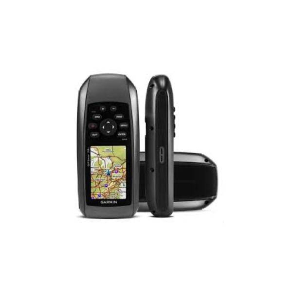
GARMIN HANDHELD GPSMAP 78s
- Brand: Garmin
- Model : GPSMAP 78s
- PID : 31619
746 views
i
Call For price
Features
- Display:Transflective,65K color TFT
- Battery life:20 hours
- Interface: USB
- Memory :1.7GB
- Please confirm availability before completing your purchase by calling us.
- The actual product may vary in size, color, and layout compared to the website display images. Claims will not be accepted for image discrepancies.
- We reserve the right to change the price of any product at any time due to the volatile nature of technology prices.
- We cannot guarantee that the information on this page is 100% accurate. Multimedia Kingdom is not responsible for any results obtained from using this information.
| Battery | |
| Battery Life | 20 hours |
| Battery Type | 2 AA batteries (not included); NiMH or Lithium recommended |
| General | |
| Display Resolution | 160 x 240 pixels |
| Display Size | 1.43″ x 2.15″ (3.6 x 5.5 cm); 2.6″ diag (6.6 cm) |
| Interface | USB |
| Memory / History | 1.7GB |
| Maps & Memory | |
| Basemap | Yes |
| Navigation Routes | 200 |
| Navigation Track Log | 10,000 points, 200 saved tracks |
| Outdoor Recreation | |
| Area Calculation | Yes |
| Geocaching-Friendly | Yes (Paperless) |
| Hunt/Fish Calendar | Yes |
| Point-TO-Point Navigation | Yes |
| Sun and Moon Information | Yes |
| Waypoints/Favorities/Locations | 1000 |
| Sensors | |
| Glonass | Yes |
| GPS | Yes |
| GPS Compass (While Moving) | Yes |
| High-Sensitivity Receiver | Yes |
| Appearance | |
| Dimension | 2.6″ x 6.0″ x 1.2″ (6.6 x 15.2 x 3.0 cm) |
| Display Type | Transflective, 65-K color TFT |
| Waterproof | IPX7 |
| Weight | 7.7 oz (218.3 g) with batteries |
| Warranty | |
| Warranty | No Warranty |
GARMIN HANDHELD GPSMAP 78s
- The GPSMAP 78s is a rugged, handheld GPS device designed for marine, boating, water-sports, hiking, and outdoor navigation. It’s built to handle tough conditions — it’s waterproof, floats if dropped in water, and has a high-sensitivity GPS receiver that keeps you on track even under tree cover or near tall buildings.
- It comes with a built-in worldwide basemap, and you can load additional maps via microSD card so you can customize maps for roads, marine charts, topography, etc.
- The unit also includes a tilt-compensated 3-axis electronic compass and a barometric altimeter. The compass shows your heading even if the device isn’t held perfectly level; the altimeter can measure altitude and track barometric pressure changes — useful for weather forecasting or hiking in varying elevation.
- For outdoor and recreational uses, it supports features like geocaching (paperless), sun & moon info, hunting/fishing calendar, area calculation, and custom points-of-interest (POI) / custom maps
- Data like waypoints, routes, tracks and geocaches can also be shared wirelessly with compatible units, which helps if you’re using multiple devices or working with friends.
Need Advice?
Contact Our Experts