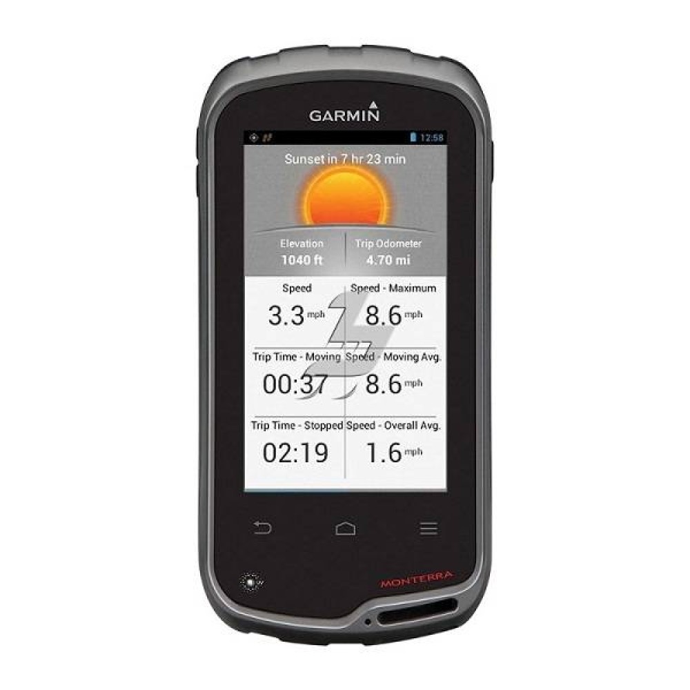
Monterra GPS
Monterra GPS is available in Bangladesh at Multimedia Kingdom.
| Physical dimensions |
2.9" x 5.9" x 1.4" (7.48 x 14.96 x 3.63 cm) |
| Display size |
2"W x 3.5"H (5.06 x 8.93 cm); 4" diag (10.2 cm) |
| Touchscreen |
|
| Display resolution |
272 x 480 pixels |
| Display type |
bright, transflective 65k color TFT, dual-orientation touchscreen; sunlight readable |
| Battery |
rechargeable lithium-ion (included) or 3 AA batteries (not included); NiMH or Lithium recommended
|
| Battery life |
up to 16 hours (lithium-ion); up to 22 hours (AA batteries) |
| Water rating |
IPX7 |
| Memory/History |
6 GB |
| High-sensitivity receiver |
Yes |
| Interface |
High-speed USB |
| Preloaded maps |
yes (topographic), some models |
| Waypoints/favorites/locations |
4000 |
| Routes |
200 |
| Track log |
10,000 points, 200 saved tracks
|
| Barometric altimeter |
Yes |
| Compass |
Yes |
| Automatic routing |
Yes |
| Geocaching-friendly |
Yes |
| Weight |
11.7 oz (331 g) |
Description
Monterra is the ultimate mapping tool with custom 3-D mapping. Combine 2 maps, for example TOPO and BirdsEye Satellite Imagery, then view both maps in 3-D. You’ll see rich textures, such as hills, valleys, lakes and forests. Zoom in, pan out and rotate the 3-D map using multi-touch.
Take charge of your next adventure with BaseCamp, software that lets you view and organize maps, waypoints, routes and tracks. Create Garmin Adventures to share with friends, family or fellow explorers. BaseCamp displays topographic map data in 2-D or 3-D on your computer screen, including contour lines and elevation profiles. It also can transfer an unlimited amount of satellite images to your device when paired with a BirdsEye Satellite Imagery subscription.